


What is PyTerrainMap?
Multi-robot teams exploring the same environment Surveillance systems that need spatial anomaly detection Disaster response (search & rescue, structural assessment) Infrastructure inspection (factories, buildings, plants) Environmental monitoring (agriculture, ecology, urban planning) Teams that benefit: Swarm robotics, drone fleets, autonomous vehicles, IoT gadgets with wheels or legs.
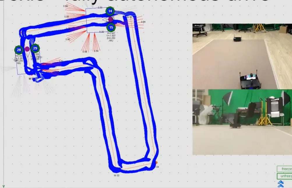
Screenshots
?
No comments yet. Be the first!
Real conversations about PyTerrainMap on X
Post on X