

FlySafe.zone
The missing data layer between NOTAMs and takeoff.
What is FlySafe.zone?
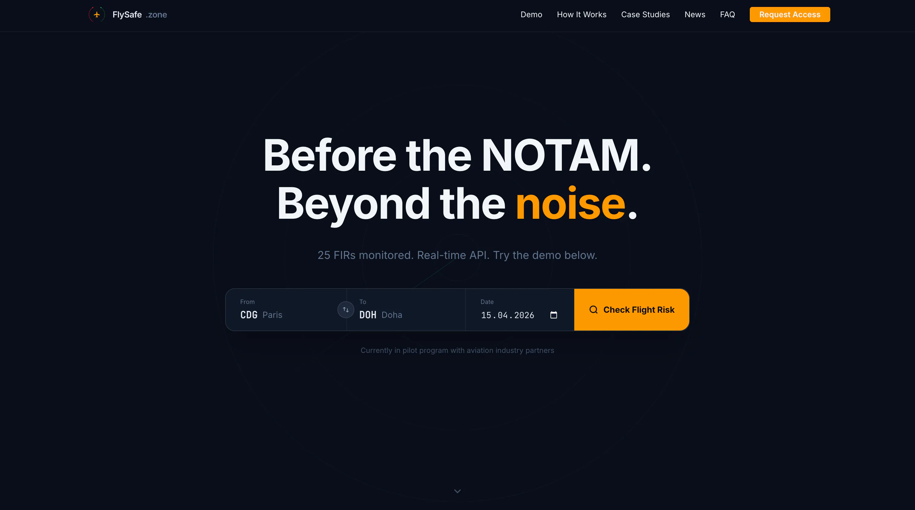
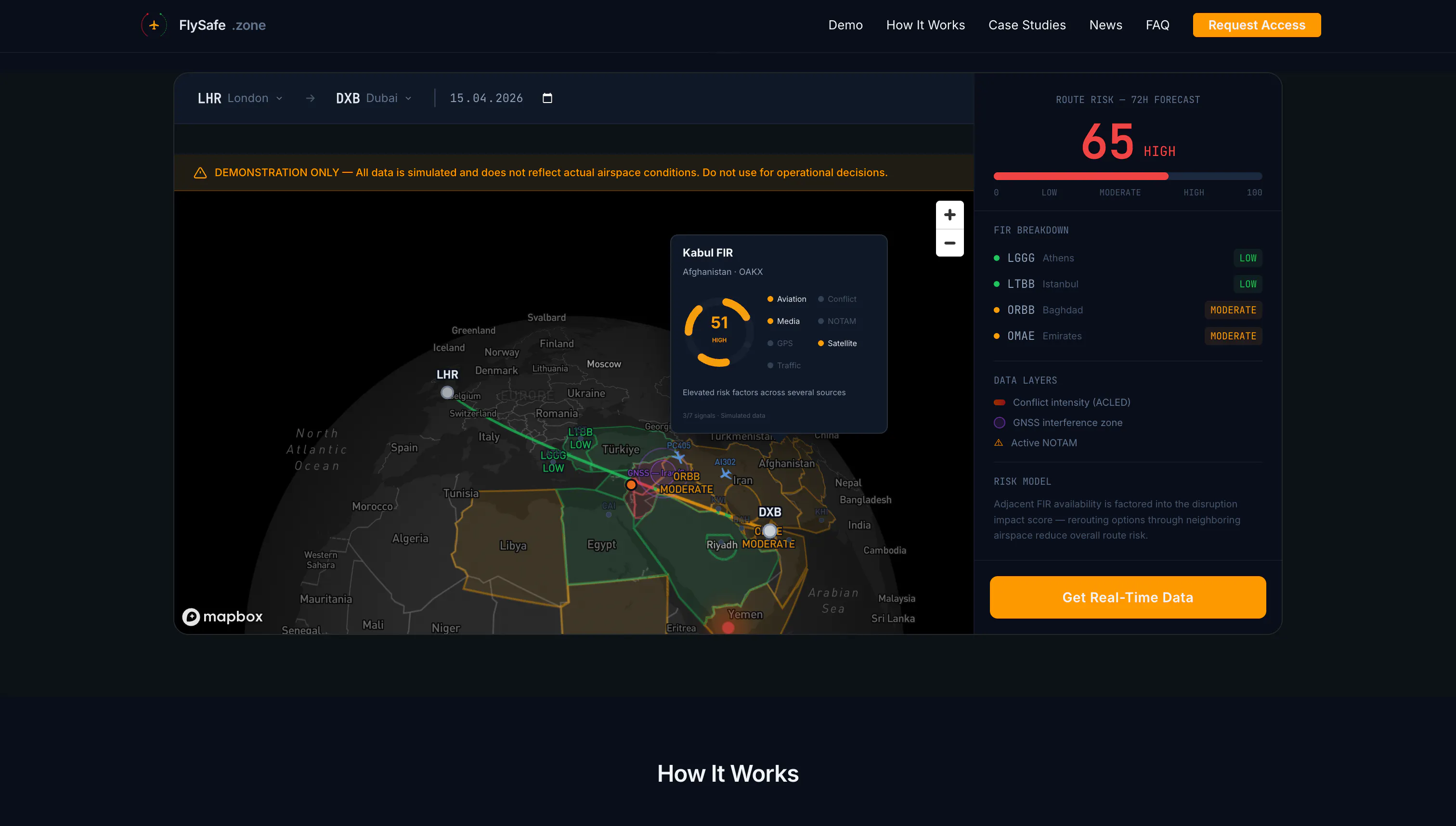
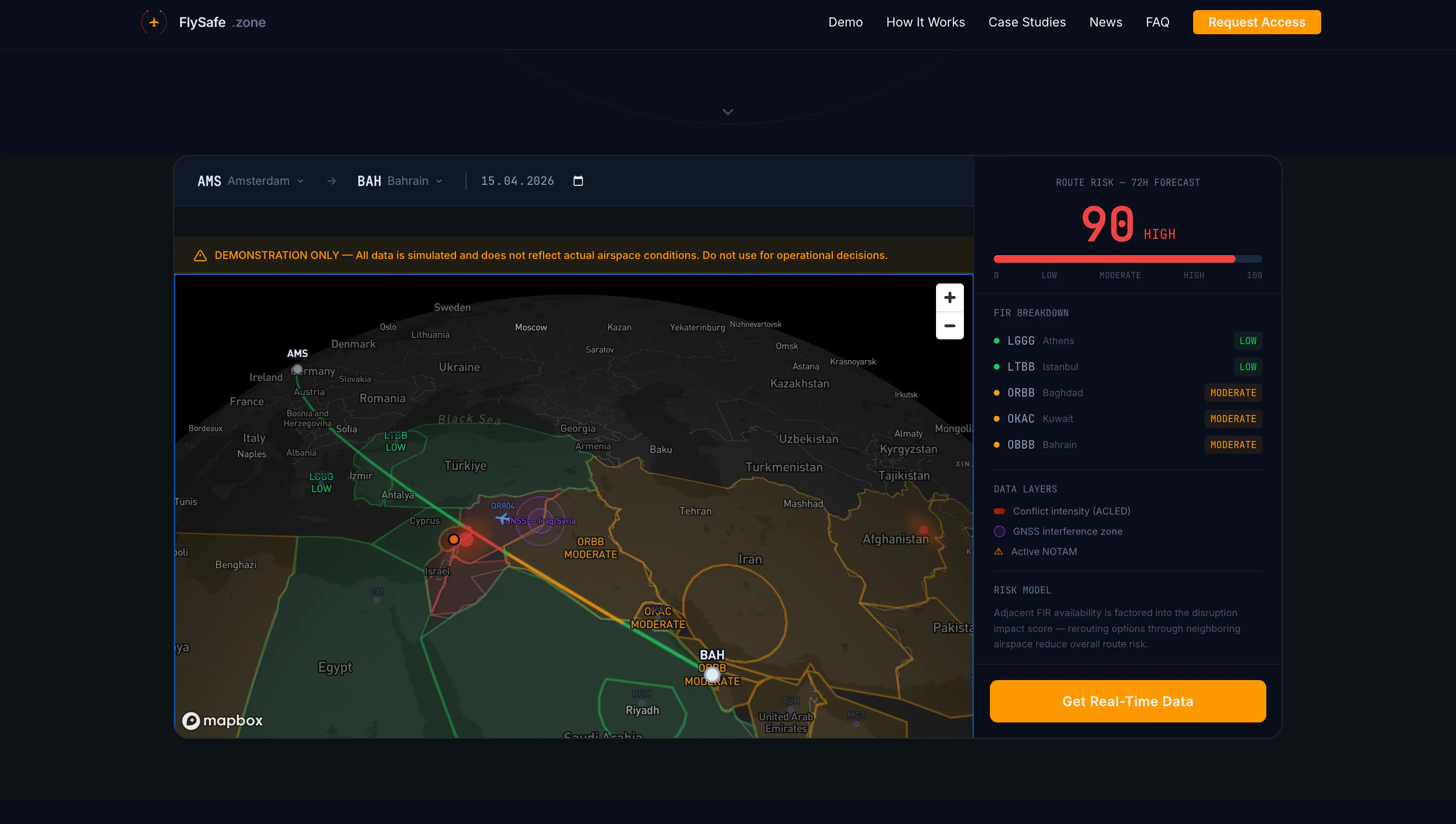
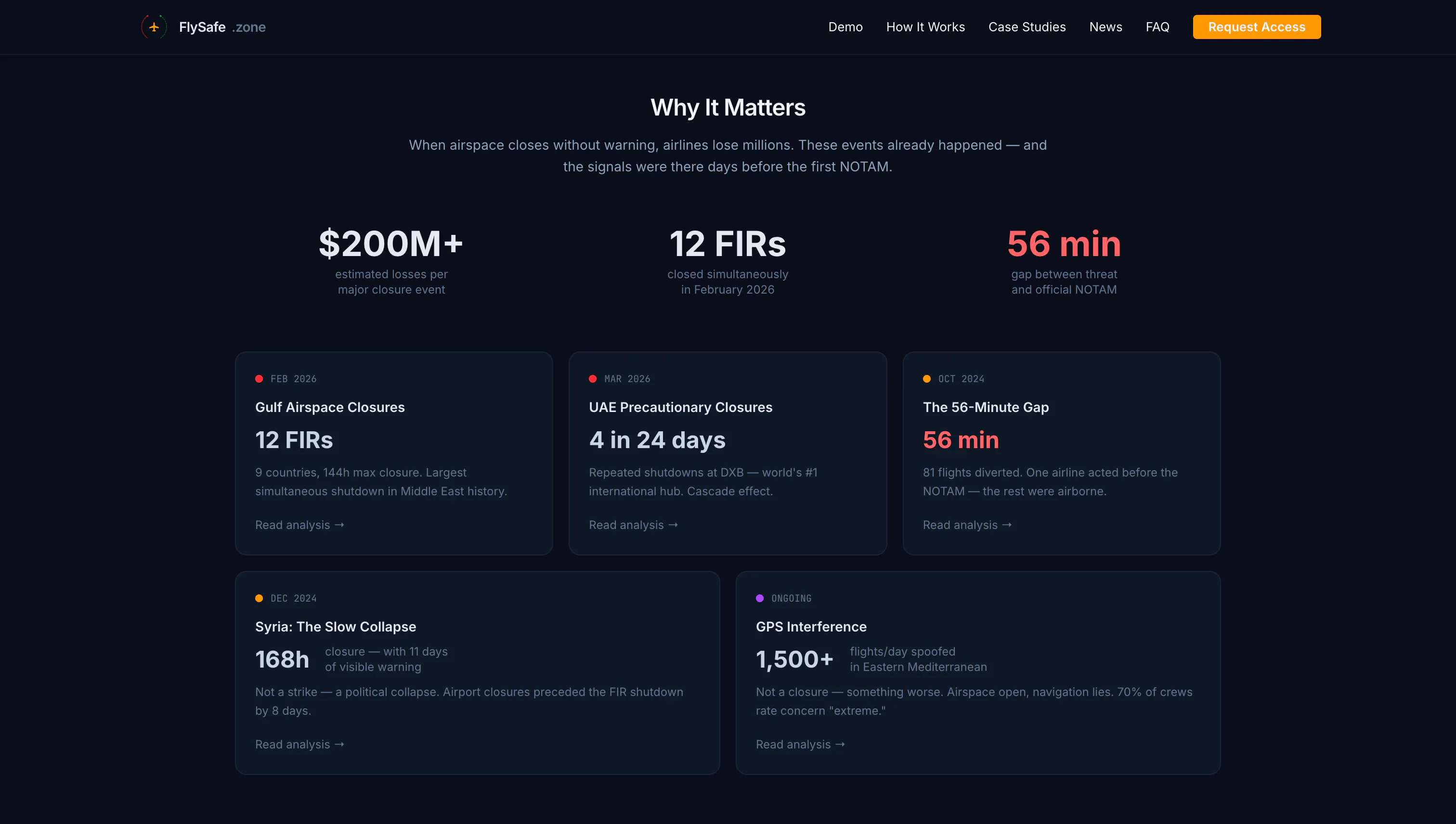
We process public aviation data — NOTAMs, conflict databases, satellite imagery — through ML models to generate airspace risk indices. 25 flight regions monitored. Updated every 5 min. API for airlines, aggregators, and travel platforms. Try the route checker demo.
Screenshots
?
No comments yet. Be the first!
Real conversations about FlySafe.zone on X
Post on X