


Fieldr studio
Turn spreadsheets into interactive territories
What is Fieldr studio?


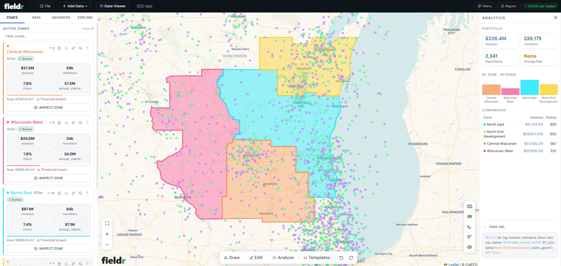
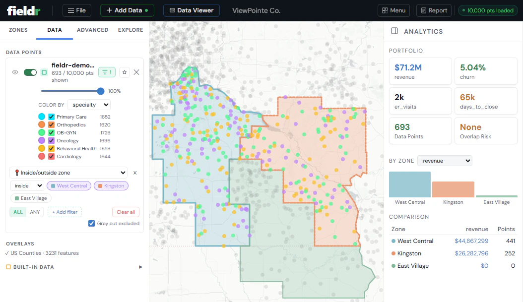
Fieldr replaces spreadsheet-based territory planning with an interactive spatial workspace. Upload a CSV, draw territories, and instantly see the data inside each zone. Metrics update live as boundaries change. Overlaps are detected automatically. Drive-time analysis uses real road networks. Reports and exports are one click. No GIS knowledge needed.
Screenshots
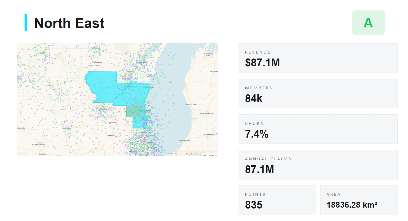
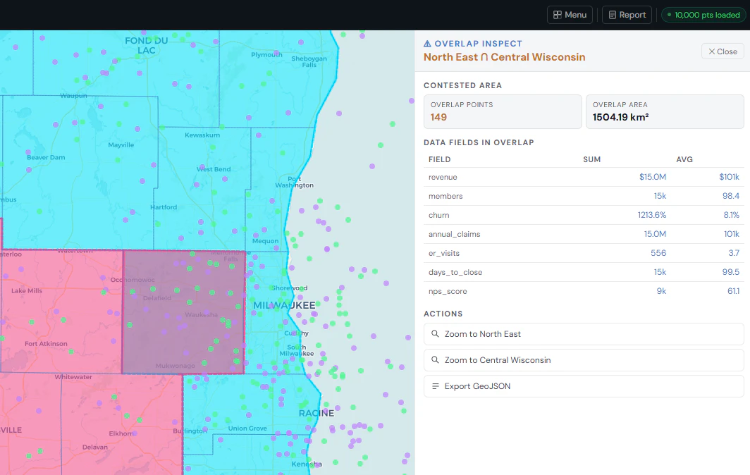
?
No comments yet. Be the first!
Real conversations about Fieldr studio on X
Post on X